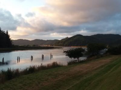
The Levee Loop Trail begins at Highway 38 and Riverfront Way following the levee wall west to Champion Park and then east to Highway 101 along Schofield River then north down Winchester Avenue. It is a 3.71 community trail system which will allow for day use hiking as well as provide a connection point to public lands. The trail will be mere steps from Rainbow Plaza camping and two other RV/trailer campgrounds. Our levee loop trail is designed to connect to ODOT’s Deans to Dunes trail which will connect the Dean Creek Elk Viewing Area on Highway 38 to the National Dunes Recreation Area in Winchester Bay. The Levee Trail will connect visitors to public restrooms, picnic areas, playgrounds and will eventually hold several interpretive signs of the areas fishing and logging history along with information about our native plants and wildlife. Future improvements also include a paved trail.
Directions
Levee Loop Trail
United States
